Nepal (not Kathmandu), 1999-2000
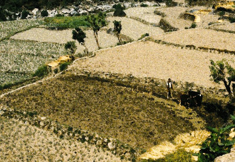
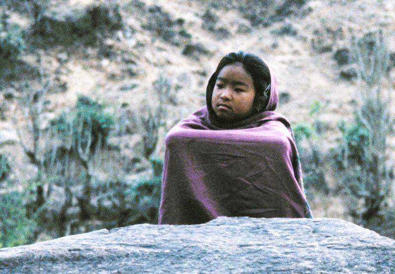
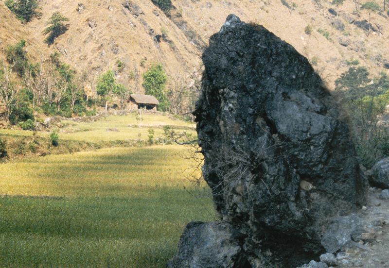
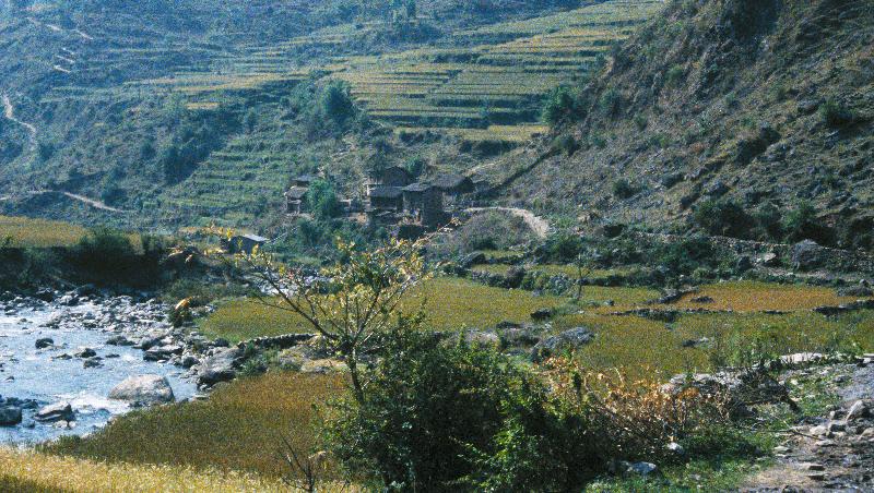
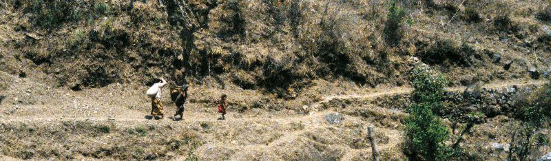
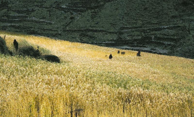
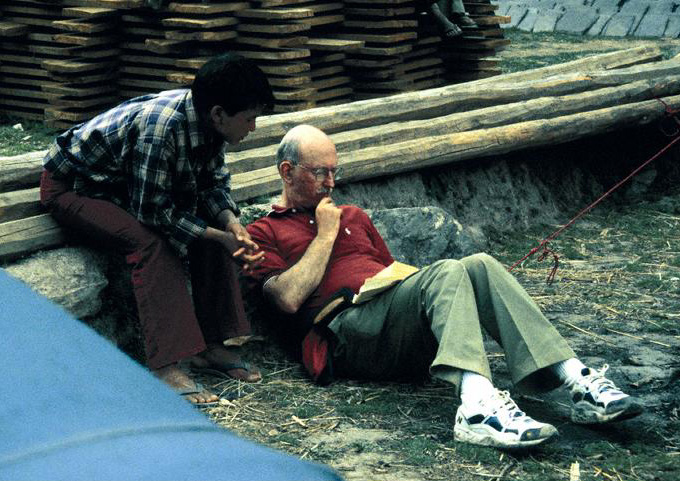
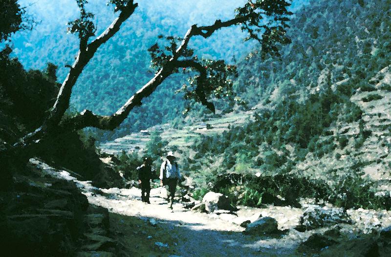
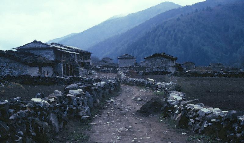
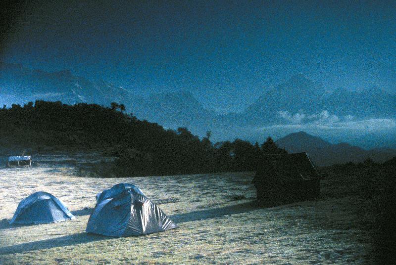
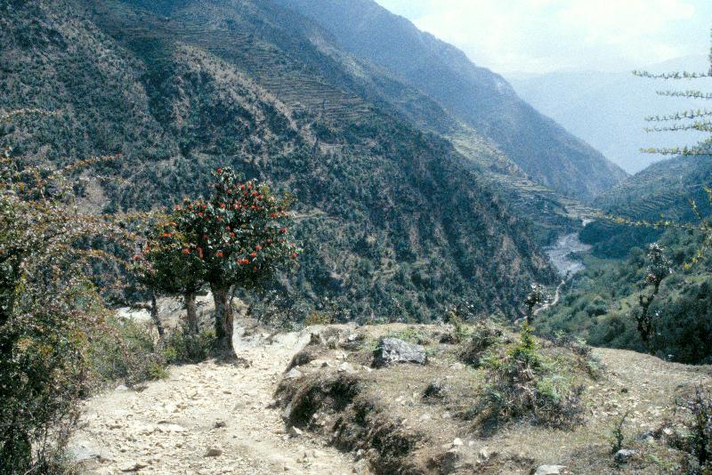
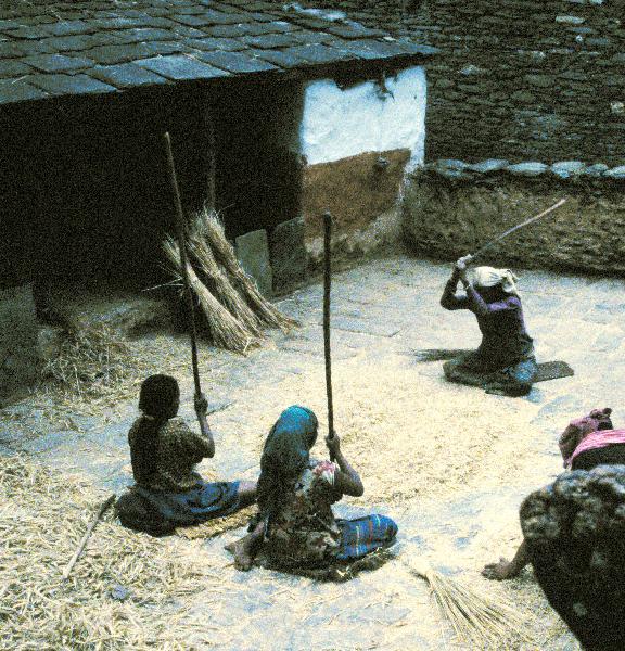
In March-April 2000, my friend Peter Reuter (scrutinized at Bobang, JK_19) and I walked from Bachitti (near Tansen), north to Dhorpatan, and then east over the Jalja La out to Beni. On the way to the roadhead, we stopped in Ridi Bazar (JH_04). Few tourists come this way; we met only two parties (one a lone Australian) until a day or two from the end of the trek. We walked through active agricultural areas on (mainly) gentle trails, looking and being looked at. Some of these images (JJ_05, JK_13, JK_14, JL_06, JN_08) have been heavily Photoshop-filtered, in an effort to capture the Impressionist mood of the terrain, but the picture of the Jalja La at dawn (JN_16) is just the way it was, as is the view (JO_19) up the valley of the Myagdi Khola, showing about 6000 meters of vertical relief leading up to Dhaulagiri. A graph of that trip is here.

JH_04 JJ_05 JJ_20 JK_02
JK_05 JK_07 JK_13


JK_14 JK_16 JK_19 JL_06

JL_18 JN_08 JN_16


JO_09 JO_19 JP_06 JP_17
2000 was the first time that I carried a Global Positioning System receiver to Nepal. Because the available maps of Nepal are inconsistent and inaccurate, there are few places for which waypoints can be pre-established. On a separate page, I am posting a list of waypoints I recorded. As luck would have it, these records were made just a few weeks before the discontinuation of Selective Availability, so they are not as accurate as they would be if re-recorded now. Also, some villages (notably Bobang and Dhorpatan) are dispersed, so that the place at which to set the waypoint was somewhat arbitrary. I'll be happy to accept corrections and additions (covering this part of Nepal or others).
Home Nepal 1978-1988 Nepal 1989-1995 Nepal 1996-1998 Nepal 2003 Nepal 2007
Images on this page ©1999-2000 by Robert R. Fenichel
Page revised: 12/15/2025 11:35